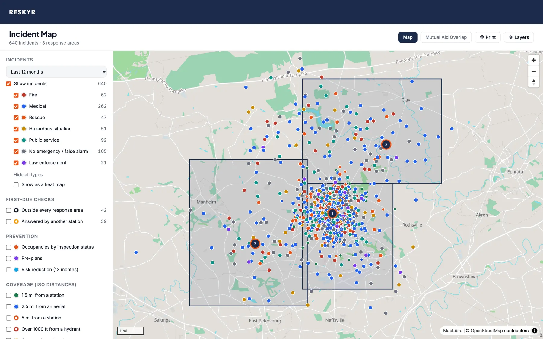
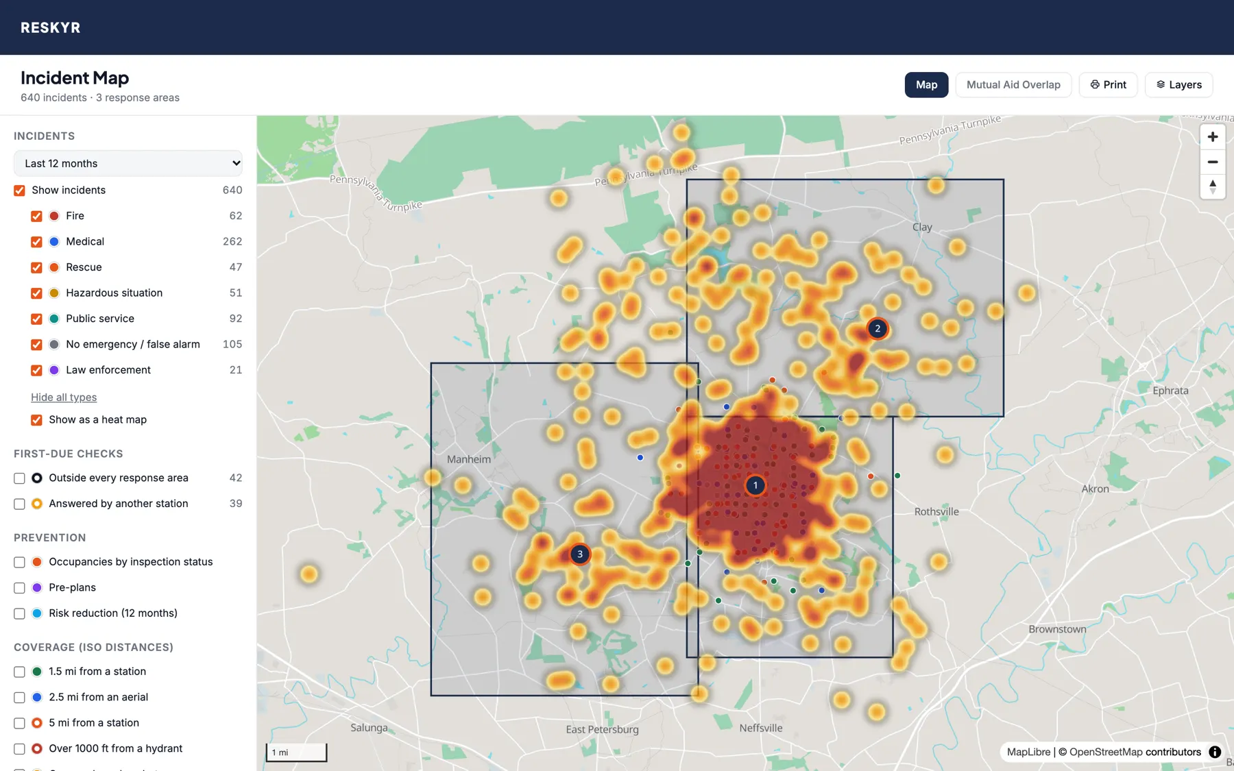
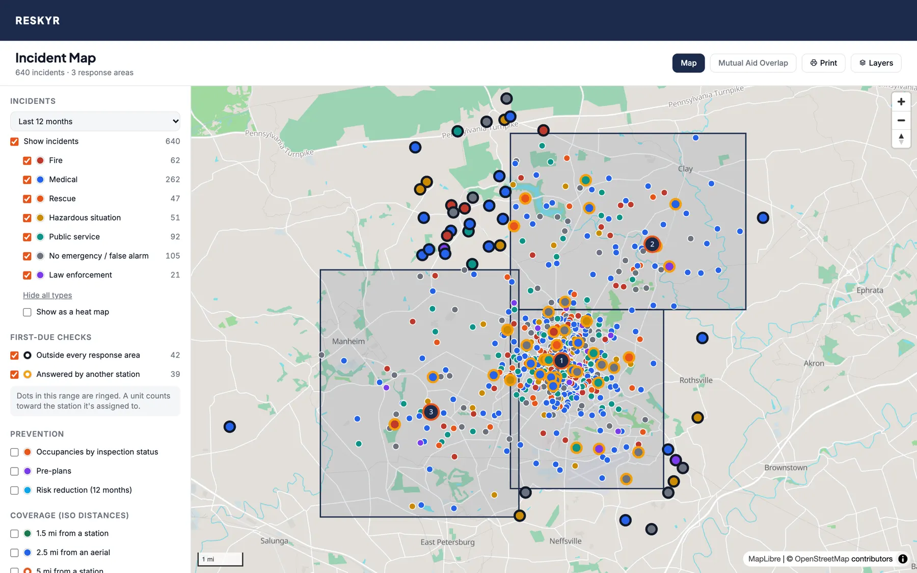
Every call, by type
- Fire, medical, rescue, hazardous situations, public service and false alarms in their own colors
- Click a dot for the incident number, date, type and address, and open the report
- Test calls never appear
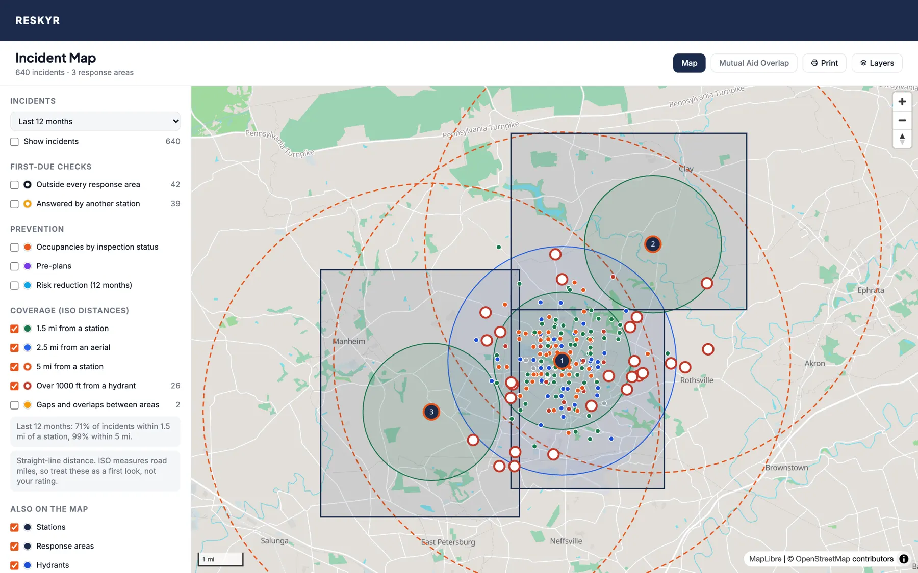
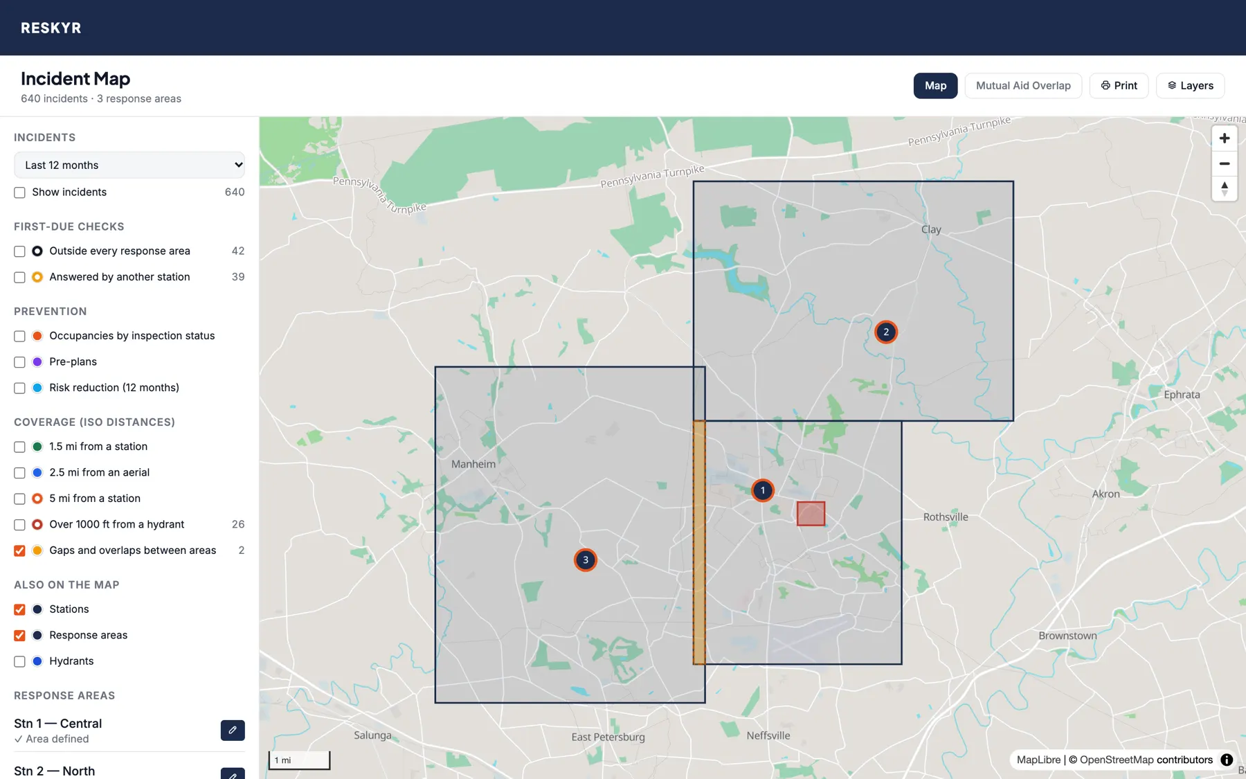
Turn on two switches and the map shows every neighboring department's stations and boundaries within about 15 miles, from NERIS Public. Plan mutual aid, check who's next door, and look up a neighbor's NERIS ID in one click.
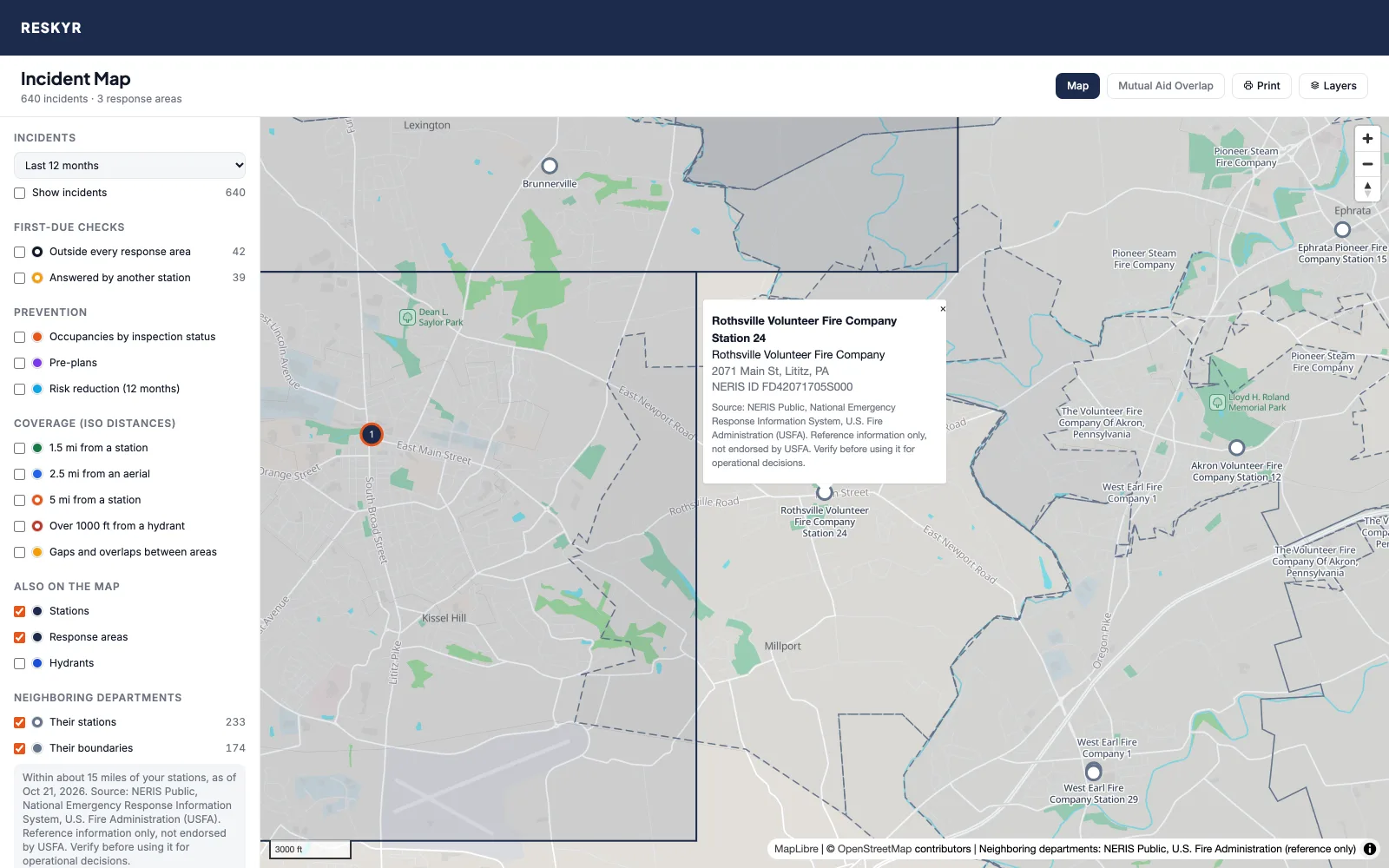
Source: NERIS Public, National Emergency Response Information System, U.S. Fire Administration (USFA). Used with permission. Reference information only, not endorsed by USFA. Verify before using it for operational decisions.
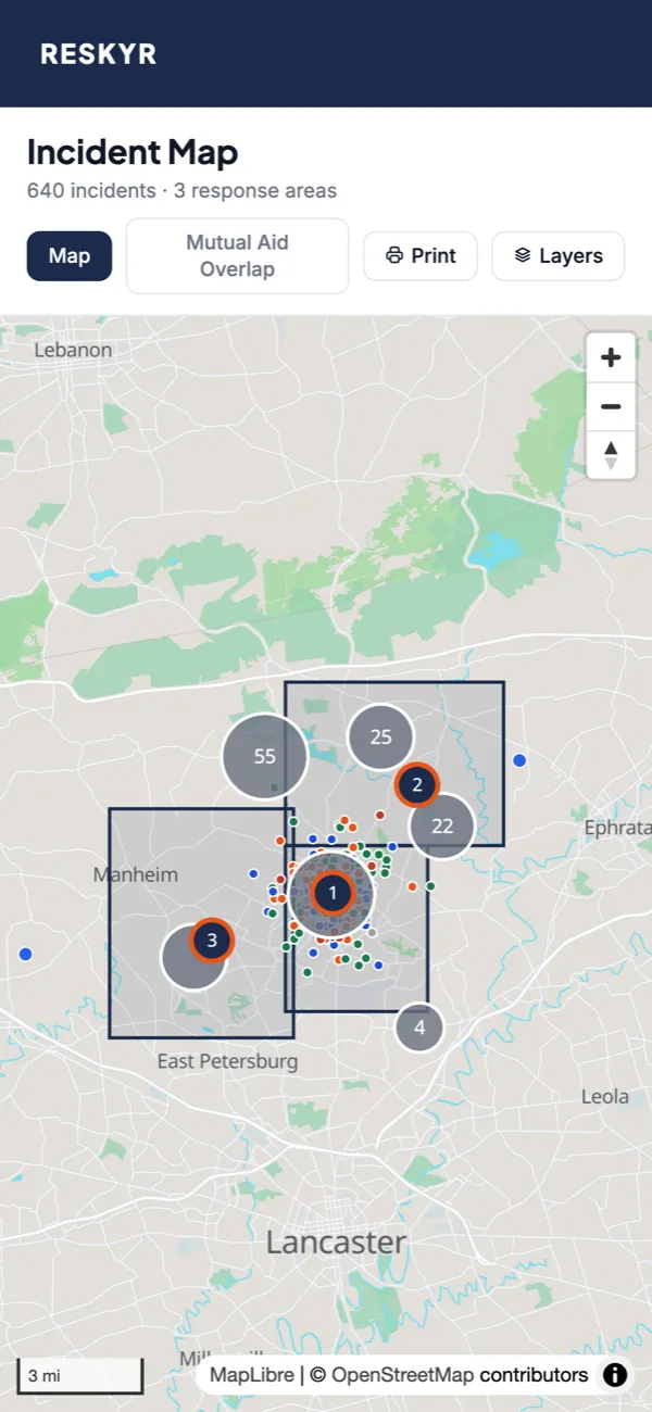

Add your stations, draw your response areas and watch your calls fill in. Request a trial and, once we confirm your department, get 30 days with every module. No credit card required.